
The Lixel L3 at a Glance
5 mm
Relative accuracy. Measured in a dedicated test environment, 1σ.
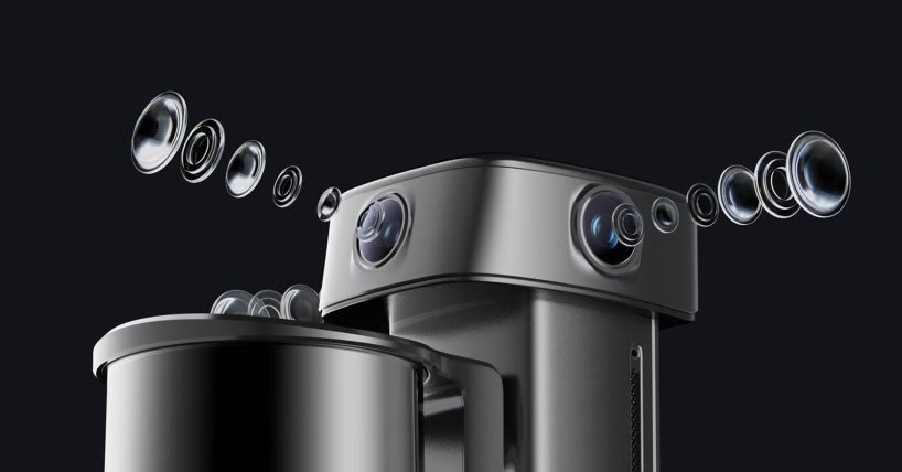
4K HDR
Vision system. DCG HDR extends the sensor's dynamic range, holding detail in both highlights and shadows.
Point Cloud · 3DGS · Mesh
Three deliverables from a single pass.
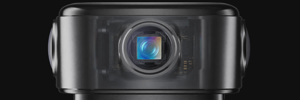
1/1.3"
CMOS
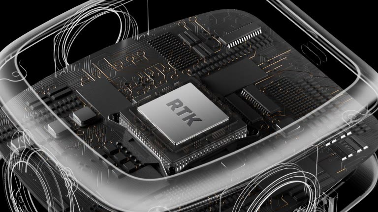
RTK
Survey-grade, integrated
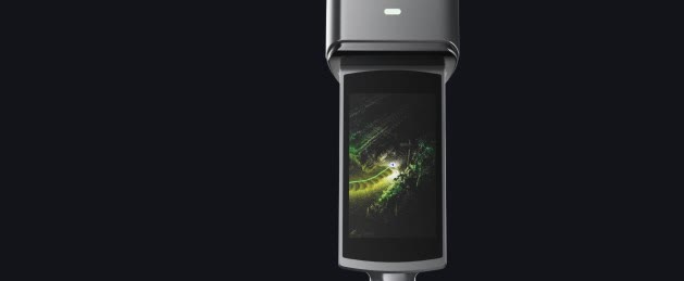
4.3"
Display
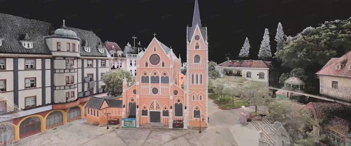
Real-Time
Point cloud, ready to use
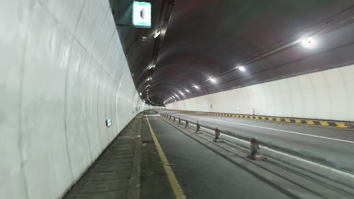
Complex Scenes
Stable reconstruction
Precision Sensing, Integrated in One Instrument
The L3 fuses a high-accuracy LiDAR, a true-color vision system, an integrated RTK, and a built-in display into one unit: geometry, color, positioning, and delivery, in a single pass.
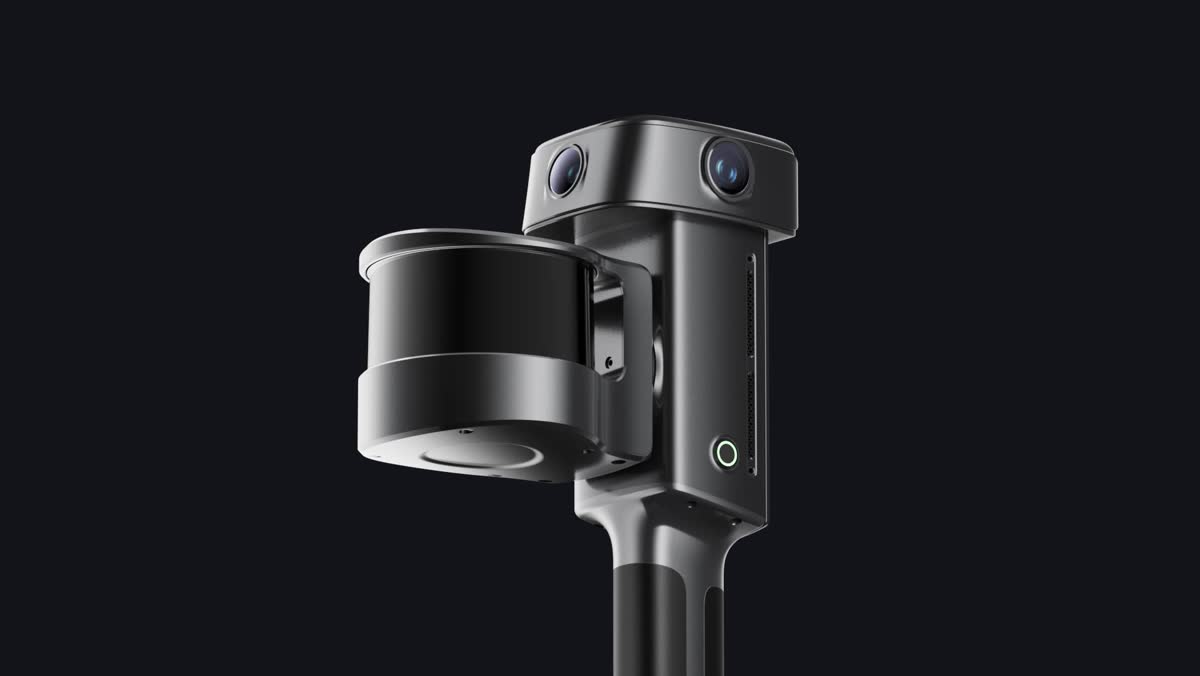
High-Precision LiDAR
120 m maximum range · Up to 640,000 pts/s
Photorealistic True-Color Vision System
1/1.3" CMOS · 4K HDR
Integrated High-Brightness Display
4.3" built-in screen · 1,000 nit peak brightness · Scan assistance system
Integrated Survey-Grade RTK
Multi-frequency GNSS across GPS, GLONASS, Galileo and BeiDou · Horizontal accuracy 0.8 cm + 1 ppm · Vertical accuracy 1.5 cm + 1 ppm · 4.0 dBi maximum gain
High-Precision IMU
0.02° leveling (without RTK) · 0.005° leveling (with RTK) · Continuous sensing of device attitude and motion
A New Accuracy Benchmark for SLAM
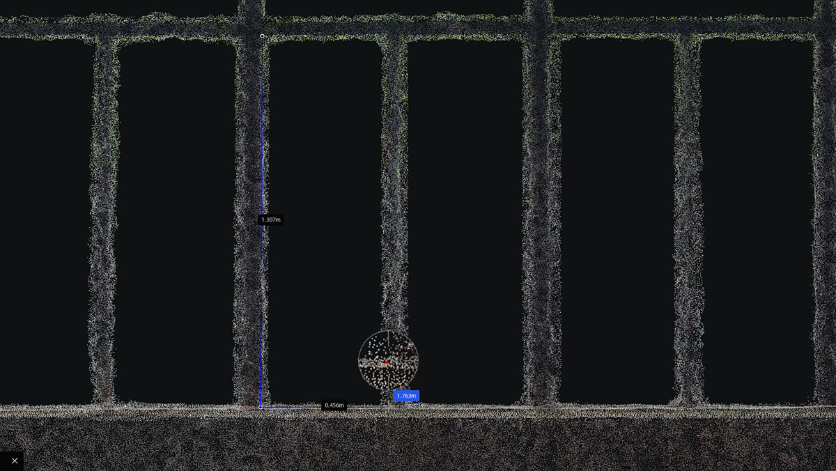
Tested by documented methods and verified against measured ground truth. Critical dimensions survive a check and walls come out true. That is what makes the point cloud usable as evidence in surveying and engineering work, not just as a picture of the site.
- 5 mm
- Relative Accuracy
- 2 cm
- Absolute Accuracy
- 0.02°
- Leveling (Without RTK Fusion)
- 0.005°
- Leveling (With RTK Fusion)
- ≤ 5 mm
- Point Cloud Thickness
Post-processed, P68 (approx. 1σ) [1]
RMSE [2]
Laboratory conditions [3]
Open sky [4]
Within a 10 m walking path [5]
- [1] Measured in a designated indoor test environment of approximately 500 m², using a post-processed point cloud captured without ground control points, by comparing point cloud distances against reference distances established with a total station; reported at P68, approximately 1σ. For full methodology, see the Lixel L3 Accuracy Verification White Paper.
- [2] Measured under open sky, free of multipath effects, with optimal GNSS geometry and favorable atmospheric conditions; accuracy stated as RMSE.
- [3] Applies to captures without RTK fusion; measured under laboratory conditions in a 2,000 m² scene. Actual performance may vary.
- [4] Measured under open sky, free of multipath effects, with optimal GNSS geometry and favorable atmospheric conditions. Actual performance may vary.
- [5] Point cloud planar thickness within a 10 m walking path.
Photorealistic Color, True to the Space
The L3's true-color vision system records color, tonal range, and material detail with photographic fidelity. In low light and high contrast, where capture usually suffers, the output stays clear and identifiable.
Accurate Structure, True Color
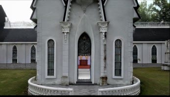
High-accuracy geometry and high-resolution imagery are fused, so the point cloud carries structure and color at the same fidelity. Site conditions read at a glance, target objects are easier to identify, and measurement, modeling, and client review all work from the same data.
Highlights and Shadows, Equally Resolved
4K HDR imaging retains detail at both ends of the exposure range, so bright surfaces do not blow out and shadowed areas do not disappear. Tonal transitions stay natural across the scene.
Low Light, Still Legible
In low-light environments, the L3 produces point clouds with less noise and color shift. Less grain, fewer false colors, and a cleaner cloud going into processing.
Key Areas, Enhanced on Demand
Select specific areas for targeted enhancement, so critical zones keep more spatial detail while reconstruction time and file size stay under control.
Color and Detail, Carried Through Every Deliverable
A single capture produces a high-accuracy true-color point cloud, a detailed mesh, and a photorealistic 3D Gaussian Splatting model from the same source data. Precise geometry, clean texture, and immersive realism each serve a different downstream job, so one field session empowers visualization, professional measurement, and digital twin work.
Mesh
High-quality imagery gives the mesh dense texture information, resolving material surfaces and structural lines clearly. A complete spatial base for professional modeling, asset records, and downstream 3D applications.
3D Gaussian Splatting
Built on XGRIDS' upgraded Lixel CyberColor (LCC) technology, which carries real color, tonal range, and fine spatial detail into a photorealistic 3DGS model — for digital twins, previs, and virtual production that need to feel like the location.
True-Color Point Cloud
Accurate geometry with natural site color, so professional data is easier to read and faster to work with.
Complete Data, Whatever the Conditions
Across long continuous captures and through GNSS obstruction and weak texture, the L3 combines integrated RTK and multi-modal perception to keep modeling stable. Less drift, less layering, usable data from one site visit.
Urban Canyons
In dense built environments where satellite signal is blocked or reflected, the L3 keeps refining trajectory and positioning so large captures stay continuous, producing data with no misalignment and no layered floors.
Featureless and Repetitive Spaces
Where visual texture is thin, geometric features are missing, or structures repeat, positioning and mapping tend to accumulate error. L3's stable SLAM algorithm keeps the point cloud continuous and the structure consistent, making underground and linear scenes easier to capture reliably.
Waterside Sites
Reflective water surfaces interfere with spatial solution. The L3 keeps refining the solution so bridge structures, shorelines, and surrounding geometry come through coherently, reducing data gaps and return visits on waterside projects.
Usable Point Clouds the Moment You Stop Scanning
Built on real-time Multi-SLAM processing, the L3 generates a high-quality true-color point cloud as you scan. Real-time vision-aided localization and dynamic object filtering keep the structure coherent and the data clean, ready for on-site measurement and project review the moment you stop.
- 1 cm
- Real-Time Relative Accuracy
- 2.5 cm
- Real-Time Absolute Accuracy
- Real-Time
- Coordinate Conversion
Laboratory conditions [1]
Open sky [2]
WGS84 / CGCS2000 [2]
- [1] Measured under laboratory conditions; actual performance may vary.
- [2] Measured under open sky, free of multipath effects, with optimal GNSS geometry and favorable atmospheric conditions. Real-time coordinate conversion supports WGS84 and CGCS2000 only.
Real-Time Localization and Filtering
Real-Time Vision-Aided Localization for Stable, Coherent Large Scenes
Real-time vision-aided localization and leveling optimization continuously correct capture trajectory and attitude, so large-scene point clouds stay level and structurally continuous. Drift and layering are minimized, reducing the cost of releveling, registering, and rescanning afterward.
Drag to Compare
Real-Time Filtering for a Clean Cloud Straight Out
AI identifies and filters people, vehicles, and environmental noise as you scan, cutting the smearing, ghosting, and redundant data that moving objects leave behind. The exported cloud needs less manual cleanup and reaches measurement, modeling, and delivery sooner.
Field Work, Made Steady
The L3 smooths out each step during the workday: on-screen guidance and hardware built for long days in the field, then flexible fusion and privacy handling in Lixel Studio.
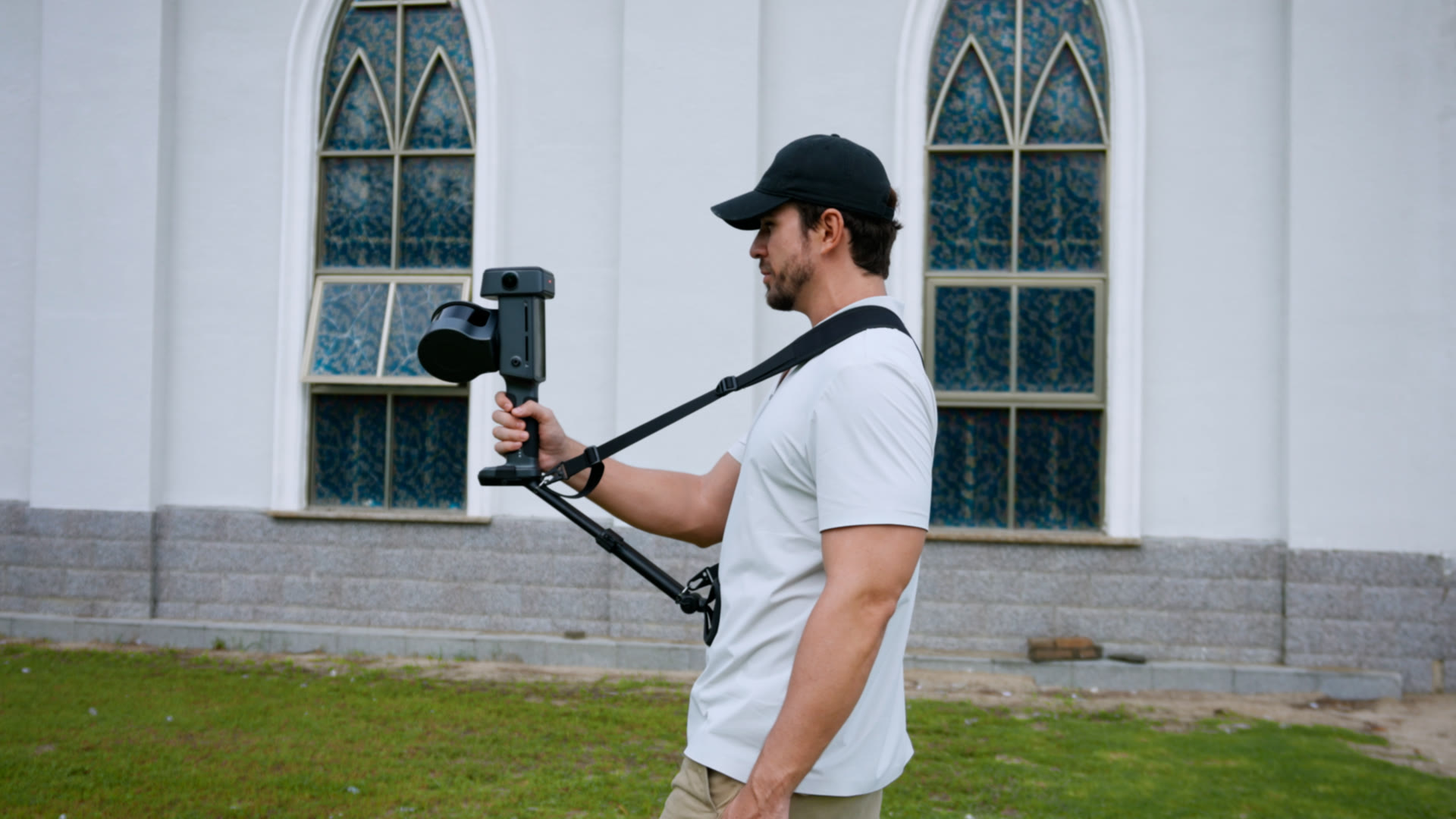
Support Rig
Long field days feel easier.
Flexible, Efficient Processing
In processing, Lixel Studio gives each project more than one route: multi-session captures can be constrained by control points, or matched and fused by region selection with no control points at all. Faces, license plates, and other sensitive information are handled automatically, so data moves from consolidation through reconstruction to delivery on terms the project can actually accept.
Control-Point-Free Map Fusion
Match by region selection in Lixel Studio without laying control points in advance. Sessions fuse flexibly, with less time spent on registration.
Explore Lixel StudioAutomatic Privacy Protection
Faces and license plates in the output are detected and blurred automatically, so results can be shared internally and delivered externally with less exposure.
From Spatial Data to Industry Output
Open SDKs, plugins, and Creator data connect L3 deliverables to the workflows teams already run. Field capture turns into dependable working output faster.
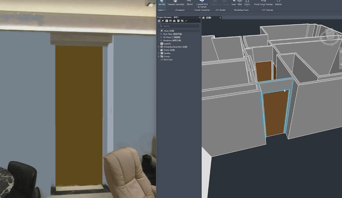
AEC and BIM
Feed the BIM workflow with reliable data for scan-to-BIM, building renovation, and as-built records.
LCC for Revit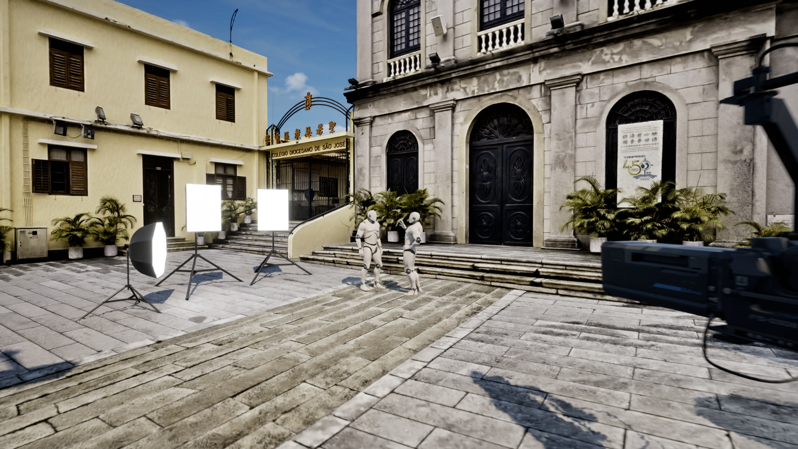
Film Production
3DGS data reaches Unreal Engine through the LCC Plugin for UE, bringing real locations into the digital creation space.
LCC Plugin for UE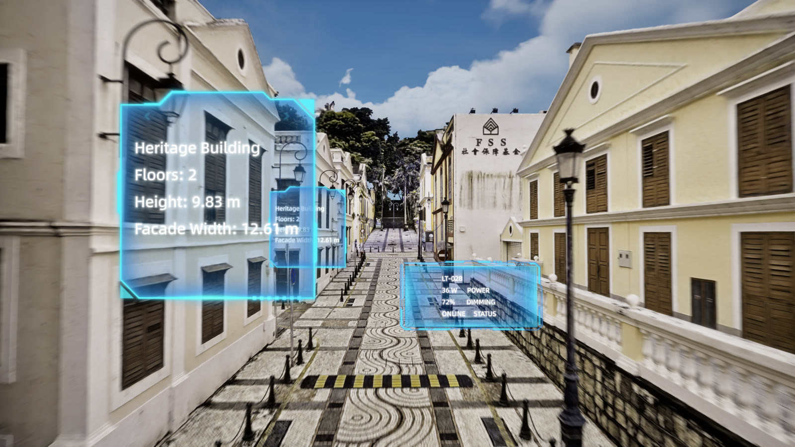
Digital Twin
Build a true, legible digital base layer for campuses, plants, and large facilities, so spatial data serves remote collaboration, facility management, and digital twin applications.
See It in Action
Watch the Lixel L3 Work.
Lixel L3 Product Film
XGRIDS official product film.
Why Purchase Through QRC
The Flagship Scanner, Configured and Supported by QRC.
- Authorized XGRIDS reseller for the US and Canada — configured and quoted to your workflow
- Remote onboarding with the team that processes these datasets in production
- Certified training and on-site options for field capture and processing
- Financing available through our partner — deploy now, preserve capital
Related Services
Mobile LiDAR Scanning
High-speed terrestrial scanning for interiors, exteriors, and complex sites — millimeter-accurate point clouds ready for downstream workflows.
BIM Modeling (Scan-to-BIM)
Registered point clouds converted into intelligent Revit models — LOD 200–400 — for design, coordination, and construction.
Frequently Asked Questions

Interested in the XGRIDS Lixel L3?
Tell us about your workflow and our team will recommend the right configuration, walk you through the platform, and map out training and onboarding.
Request a Demo